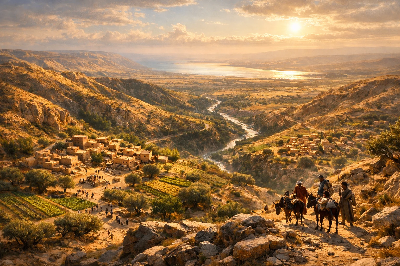
From Janoah to the Jordan and the Sea
야노아에서 요단과 바다까지
Passage
Joshua 16 (vv. 7-9)
Mood
hopeful
Description
The border description continues with movement down from Janoah to Ataroth and Naarah, touching Jericho and reaching the Jordan, then stretching west from Tappuah to the Kanah Ravine and ending at the Mediterranean Sea. The text also notes towns and villages set apart for Ephraim within Manasseh’s inheritance. This scene is visualized as a living map of valleys, ravines, orchards, villages, and trade paths, showing how the inheritance was not merely abstract territory but a network of inhabited places, resources, and shared spaces.
설명
경계에 대한 설명은 야노아에서 아다롯과 나아라로 내려가 여리고를 스치고 요단에 이르는 것으로 계속됩니다. 이어서 답부아에서 서쪽으로 가나 시내를 따라 지중해에서 끝나며, 므낫세의 기업 안에 에브라임을 위해 구별된 성읍들과 마을들도 언급됩니다. 이 장면은 골짜기와 시내, 과수원, 마을, 통상로가 어우러진 살아 있는 지도로 표현되며, 기업이 단순한 추상적 영토가 아니라 사람들이 거주하고 자원이 흐르며 경계가 교차하는 실제 삶의 공간이었음을 보여 줍니다.
Size
1536x1024
Generated
2026-03-14T16:36:10.345207
Image Prompt
Style